Closing Colorado: Grays, Torreys, and DeCaLiBron
Access to some of the state's most popular trails has been impacted; changes to your weekend plans may be in order.
Hiker access to some of the state’s most popular trails is currently impacted. This is part of a broader trend of pushback against a crackdown on overcrowding. These two cases are the most recent, and may impact your planned weekend hikes.
DeCaLiBron1
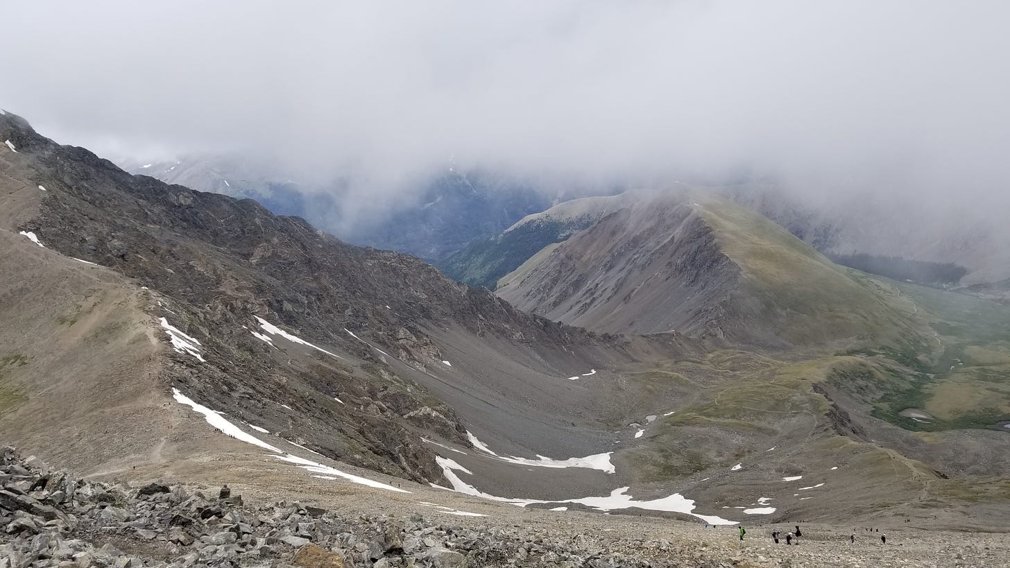
Some of Colorado’s 14’ers2 are either at least partially on private property, or have approach routes that cross through private property. DeCaLiBron is one of those cases: the United States Forest Service and the Town of Alma manages the land immediately surrounding Kite Lake.
But much of the surrounding area is privately owned. Right now, according to The Colorado Fourteeners Initiative, the privately held land is closed to the public. Hikers are advised to keep off the trail for now.
The issue of access is nothing new. From the landowners’ view point: tens of thousands of hikers pose a huge liability. Past mining in the area has left behind serious hazards: notably open mineshafts, and the possibility for unseen tunnels to collapse underfoot.
If every visitor stuck to the trail — seriously, do this for your own safety more than anything — I doubt there would be an issue. But that’s not the world we live in.
Notoriety and popularity invariably lead to over-use and resource destruction in Colorado. This is something I plan to discuss further in the future. For now, the CFI is trying to work something out with the land owners to restore access. They’re asking you respect the closure in the meantime. Hiking the trail in defiance may hamper community access in the long term.
Grays & Torreys
The issue here is a bit more complicated, and the current solution has potential to create new issues.

Driving the narrow road to the trailhead can feel like cruising the surface of some crater-riddled alien planet. Fun to be sure, provided your vehicle is up to the task.
Start with a washboard dirt path. Excavate some truly massive potholes. Then add some large, half-buried rocks for variety’s sake; then you get the idea. A few steep spots also require a bit of speed to overcome. The distance you’ll be able to travel is directly proportionate to the ground clearance of your vehicle. Don’t test this: I’ve heard plenty of hair-raising scrapes from the bottoms of sedans.
Some drivers take their cars as far as they can go, pull over, park, and walk the rest of the way to the parking lot and trailhead.
This lot is nowhere near large enough to support the staggering number of people who make this climb during summer weekends. When it inevitably fills up, subsequent cars occupy whatever space they can find along the side of the already skinny road. This is precisely the behavior the Clear Creek County Sheriff’s office aims to stop.
Recently signs have gone up along Stevens Gulch warning of fines or a potential tow for those who park here.
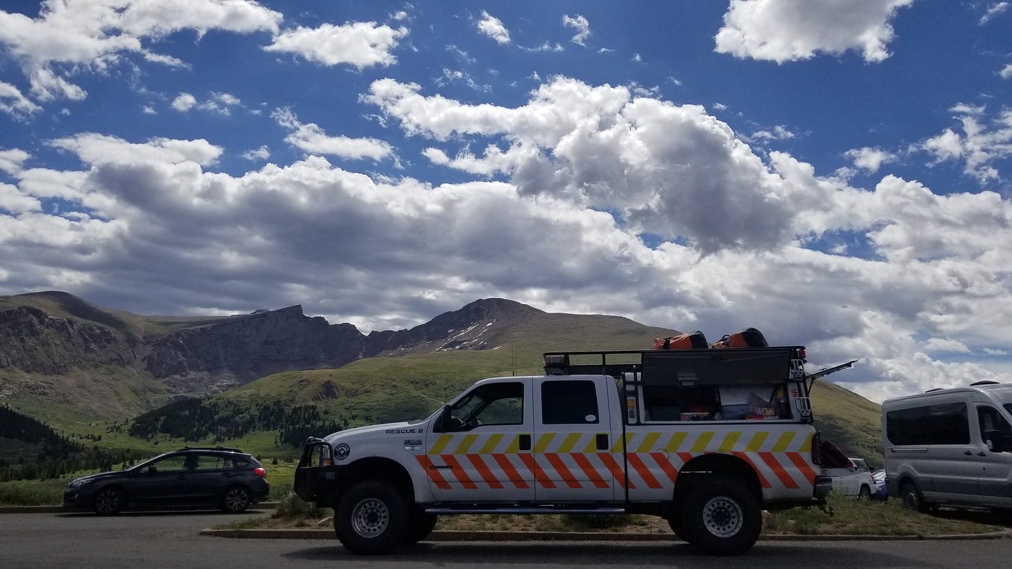
Alpine Rescue Team says the parking pattern makes it hard to get emergency vehicles to the trailhead, which is understandable.
While the rule change may mean fewer stationary cars, I’m not convinced the road will actually be less crowded. No one is going to want to park at the lower lot and tack six more miles onto their round trip hike. Invariably, every car will make the drive up to the parking lot to see if there are spaces, then drive all the way back down. This has potential to create a lot more two-way traffic.
Hiker safety is another problem. A long walk along the road will mean constantly stepping out of the way of cars. This could be particularly dangerous in pre-dawn hours, or around steep hills and blind curves.
The extra distance also makes for a hike longer than 13 miles round trip. This puts the trail well out of reach for the less experienced hikers with whom this destination is popular. I foresee two outcomes here:
Many hikers will weigh their abilities, write off Grays & Torreys as too difficult, and will fall out of popularity
Hikers expecting a seven mile trip will come unprepared, become exhausted, and call for help; thus increasing the number of calls. The area already sees plenty of action: Alpine Rescue team has responded once already in July, and two more in June — according to their log of recent missions
The latter seems more likely, but only time will tell. Rescuers are certainly in a tough spot here.
In the meantime, adjustments to your weekend itinerary are in order if you planned to tackle either route. DeCaLiBron is effectively closed for the time being. As for Grays & Torreys: get moving early if you wish to complete the hike without the extra miles.
Stands for Democrat, Cameron, Lincoln, and Bross; and is used as shorthand for the loop that links all four peaks. Whether Cameron actually counts as a peak depends on who you ask. It’s technically not prominent enough to be considered its own summit. But “DeLiBron” sounds more like a place to buy lunchmeat than a ring of mountains; so it’s official enough for my standards
Mountains standing taller than 14,000 feet


