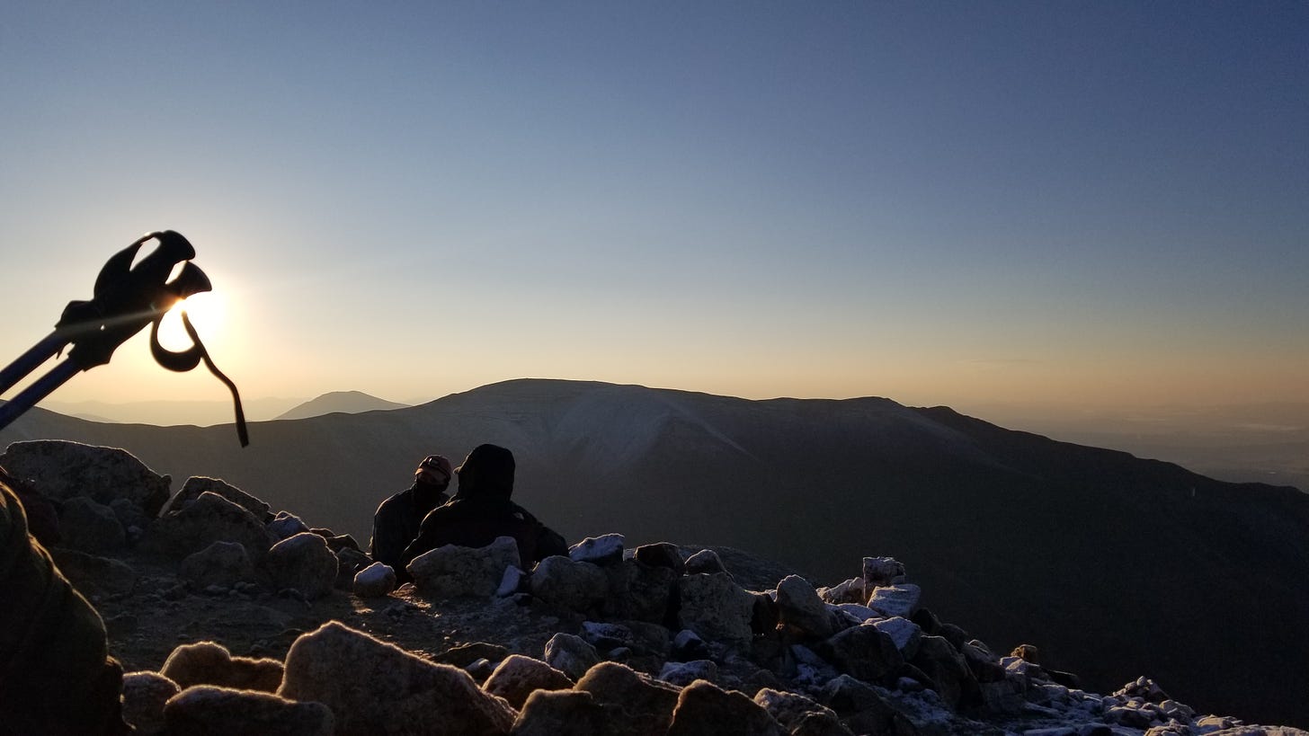
If you dare start a popular 14’er1 any time after 4:30 a.m., odds are you’ll be part of “The Conga Line.” This unbroken chain of hikers will stretch from the parking area, all the way up to the summit.
There’s an obvious plus side here: if you’re not confident in your ability to pick up the trail, you have plenty of people to follow.
Just don’t assume the person in front of you knows the way.
Last Summer I hiked DeCaLiBron2 — a popular loop that takes you to the top of four 14’ers in a single hike — and somehow managed to be one of the first at the trailhead. At this hour, there’s nothing but a little starlight to see by. Anything outside the beam of your headlamp may as well not exist.
DeCaLiBron starts above the tree line, and is marked by large rock stacks called cairns. This means there’s no “beaten path” underfoot. You’re climbing up a boulder field, searching for a small pile of rocks on top of a massive pile of rocks. Add cover of darkness, and you can easily mistake a natural formation for a trail marker.
Given the preface, I’m sure you can guess what happened.
After a particularly difficult climb onto the saddleback between Democrat and Cameron, we ran into the first trail sign we had seen all morning. One arrow pointed straight ahead toward the obvious path to the summit. The other pointed down and to our left.
I cringed and sucked my teeth when I spotted the switchback trail, all too obvious from above. It snaked down and joined back up with the version I had blazed, just before the start of the suspiciously difficult climb.
To my further dismay, a line of dancing headlamps cut through the light purple glow of pre-dawn, following in my footsteps.
I led them all astray!
The detour from the actual path looked so dramatic, I felt I’d thrown a railyard lever and sent a whole day’s worth of trains down the wrong line.
I took my mind off the embarrassing mistake by watching the sunrise from the top of Mt. Democrat — which was lovely by the way.

On the way back down, I realized a few things:
The correct path up was extremely obvious, even sporting a few sign posts
My accidental bush-whack was more difficult and less direct
No one left the conga line to take the correct path; even just to see if everyone was detouring around it for some reason. Nor did I see someone stop and so much as glance at a map
Each subsequent hiker imitated my blunder with eyes trained on the person in front of them. This is something I’m almost certainly guilty of during a few earlier hikes, so I’m not one to pass judgement. And it’s hard to imagine this phenomenon happening outside of a trail this crowded.
Yet you’ve undoubtedly seen examples of it in your own life. Having others around you can certainly feel reassuring. But it’s still worth checking your own compass once in a while to make sure you’re still headed where you want to be going.
One of Colorado’s 58 peaks standing above 14,000 feet
Shorthand for: Democrat, Cameron, Lincoln, and Bross


An excellent article and good advice for on or off the trail.
Love your writing style and the powerful reminder to check your own map. Easy to lose yourself...